Having passed another 20 kilometers,
let's wander around the old region of Ivangorod which is called
"Parusinka", same briefly as we walked around Kingisepp.
Hoping that persons present are not too inclined to depressive state of
mind… ;-)
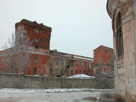
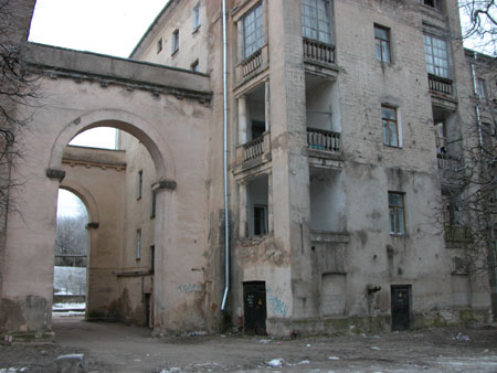
Jute Factory premises belonging to baron
Shtiglitz. Nowadays there is still a plant.
The former canteen for the factory
workers.
Ivangorod was founded in 1942 - the year
when cognominal fortress was built (the theme of the next album).
In 1613 Ivangorod fortress was invaded by the Swedish and was
returned only in 1704.
In 1744 appeared the first plan of the city itself, which was
implemented by 1780. Almost the same city structure remained up to 1950.
In 1918 the Germans invaded the city.
In 1919 Ivangorod was invaded by the White (by "our people" as the
guide said : ) and after their defeat at Yamburg in 1920, the town was
passed over to Estonia under the treaty of peace (USSR didn't exist by
then). The Estonians named the town Yanalin.
In 1940, when Estonia joined the USSR, Ivangorod became a Soviet
town.
In 1941 German invaded it.
In 1944 it was freed and the border with Estonian SSR was fixed along
Narova river and Ivangorod became a part of Leningradskaya district.
Up to 1954 Ivangorod was regarded as a settlement.
After the collapse of the USSR Ivangorod
became a borderline town - just across the little river Estonian city
Narva is located.
In Soviet times Narva and Ivangorod had the combined infrastructure -
electricity, heat supply. Narva is bigger and a lot of Ivangorod
residents worked at the Narva enterprises. Therefore, the appearance of
the border primarily hit Ivangorod.
Besides, due to the fact that the town is a borderline one, tourism
is not thriving since the permission is required to enter the city.
Though, boarder guards are also people. For instance, they like to
smoke cigarettes. A pack of cigarettes. This is what dishonest citizens
take advantage of… :)
Around 12 thousand people inhabit
Ivangrod.
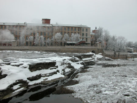
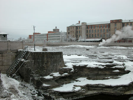
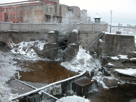
Those are Narva rapids. Here used to be a
decent waterfall of 6-10 meters high.
But after the hydroelectric power station had been built here, the
waterfall grew shallow. (Upon the power station processing water is
thrown not to the river, but to the special channel)
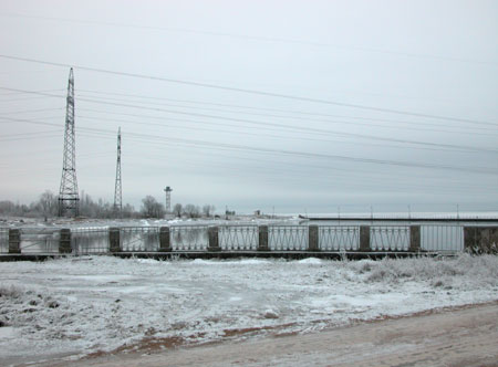
On the other bank must be Narva (Estonia).
According to one of the versions, the
name "Narva" is derived from western-finish "narvaine" - "water rapid,
waterfall".
Narva hydroelectric power station (not
far) was built in 1955 to secure the constructions of Leningrad
underground railway. At the same time the surrounding channel was dug
and the dam was built.
Hydroelectric power station is situated on the Russian bank.
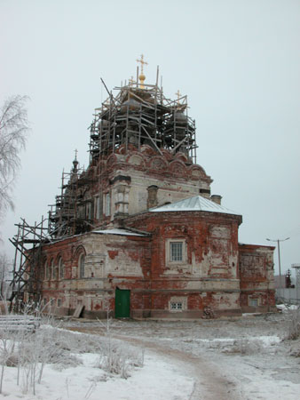
Troitskaya church. Architect A.I. Krakau,
1875.
It is considered that the church started to ruin because of the power
station construction. (the water level in the river has heighten)
The church has a romantic cellar in which Shtiglitz family vault is
located. The lock got frozen and we had to open it with the help of
matches and other things at hand. There is no light in the cellar. Pure
romance :)
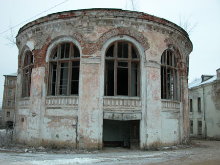
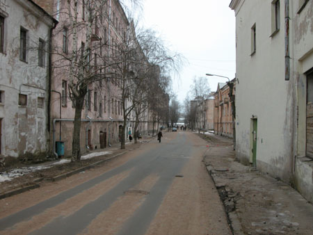
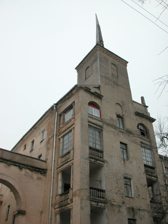
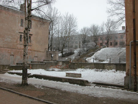
That's how it is. The season and the
weather influenced greatly the spirits of these shots.
In the next album we will pass on to the major attraction of
Ivangorod - the fortress. We will also touch Narva, since it is in the
clear visibility from there.