Today we'll visit quite a little known to people, including Petersburg dwellers, place,: it's Kanonersky(gunboat) island.
The island is a part of the city, on one side it boarders upon Finland gulf, on the other side - upon Sea channel. There is a tunnel in the bottom of the Sea channel (930 meters long), which allows freight and passenger transportation get to island. It's interesting that the tunnel was built (in 1981) by immersion of five ferroconcrete joints into prepared in the bottom of the channel trenches.
Majority of the island(the whole island is 3km x 400meters) is occupied by Kanonersky shipbuilding facility. Unfortunately, we can't get there, we are allowed to see only the edge.
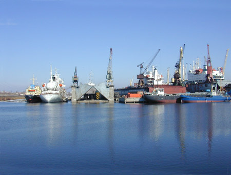
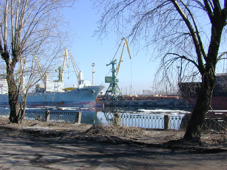
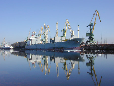
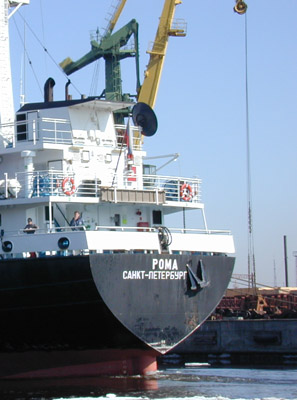
New Kanonerskaya harbor (between Belyi and Kanonersky islands) is on this and the following pictures. Shipping and cranes belonging to the shipbuilding facility lie here.
Shipbuilding facility was founded in 1883.
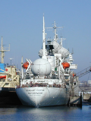
There is a ship "Cosmonaut Georgy Dobrovolsky" in the picture. It secures satellites launch and conducting.
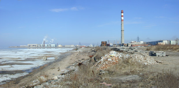
View on the most adverse part of the island. Far away on the left Belyi island can be seen (there is central airing station on it - they refine sewage before sending it back into the gulf). According to the maps Belyi island is man-made, it appeared after 1939.
A bit to the right you can see neglected ground and a rubbish heap. If I was a journalist - I would have used this plot for criminatory article:)
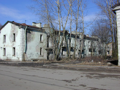
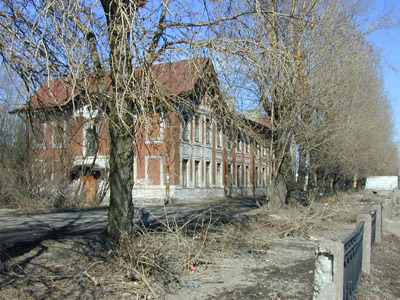
However, we'll not linger on the rubbish - we'll better go to the Sea channel. There are several houses in a row on the way - there are no windows and they are evidently vacant, but they don't look like newly-erected buildings.
As I could notice there are no names of the streets on the island - there are only numbers of the buildings.
Actually, there is a couple of Stalin times buildings and 2-3 high-rise apartment houses. And garages as well.
A well-groomed wooden house is there, on the channel bank.
It's necessary to mention the story of the names of Kanonersky island. Originally (before Saint-Petersburg was founded) it was called Kissasaari (in finnish - cat's, catlike), then - called battery, later since the last quarter XVIIIth century - Kanonirsky. And finally afterwards - Kanonersky.
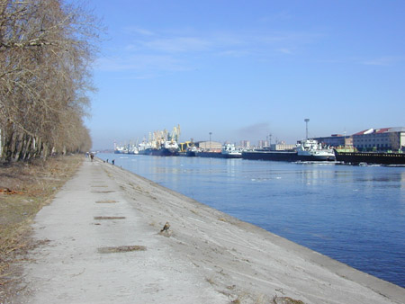
Finally we have reached Sea channel. Splendid!
Towboats, barges, ships are slowly floating along channel.
There is Gutuevsky island on that side of the channel. Railing is built along the bank - trains bring/take away cargo from the shipping.
Sea channel was being built since 1875 till 1885. Actually, channel is quite long - 32 kilometers, it flows into the gulf.
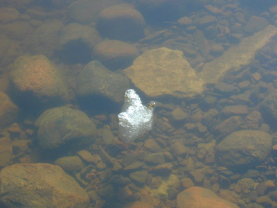
Last pieces of ice..
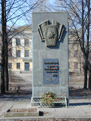
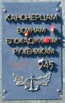
The only monument on the island
Yes, it's possible to learn history of the country looking at the fence of the channel. At the previous pictures parts of the fence are seen. When moving along the channel number of these parts is decreasing, then there are only posts, there are carefully welded metal rods to each one of them (probably on purpose not to let them fall or so that they are not stolen:) and, finally, on this picture even posts are absent - there are only holes for them..
In the next album we'll set off for the country to change the scene - we'll take a look at the ancient fortress.